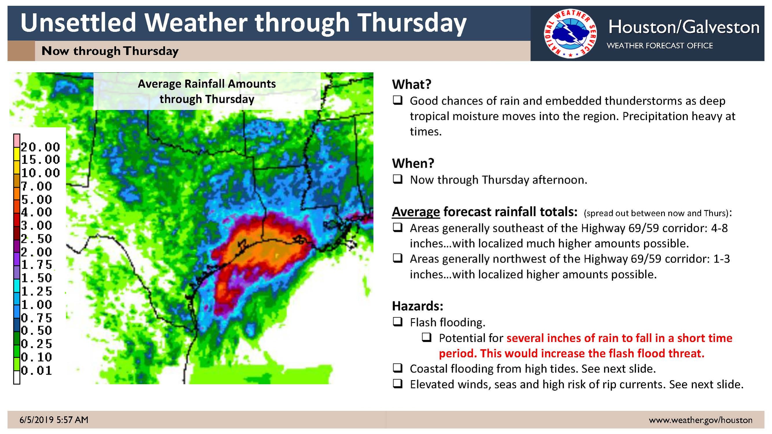
An active weather pattern is occurring over Southeast TX. Showers and thunderstorms will be increasing across the area today and will persist into Thursday. The primary severe weather hazard will be heavy rain and flash flooding. Secondary hazards include frequent cloud to ground lightning and funnel clouds, strong wind gusts, weak tornadoes and waterspouts. Please see the attached weather briefing.
Updates:
WPC Outllook now has most of Southeast TX under a moderate to high risk of excessive rainfall (high risk mostly for south of Highway 69/59). Also, SPC has most of Southeast TX under a slight risk of severe thunderstorms, with chances for strong winds and hail, on Thursday.

